Ruotsi-Norjan autoilun komeimmaksi maisemapäiväksi osui melko paljon sadetta, mutta onneksi vähemmän kuin edellisenä päivänä. Aloitettiin päivä ehtimällä ensimmäiseksi Hyllesylt-Geiranger lautan jonoon, koska laiva ei ollut kovin suuri ja ei haluttu riskeerata aikataulua.
Vuonoristeily oli tarkoitus ottaa joka tapauksessa ja näin mentiin se vain kertaalleen ja matka eteni samalla. Sinistä taivastakin näkyi:
The day with the best scenery on our Sweden-Norway road trip was pretty rainy, but fortunately, there was less rain than on the previous day. We started the day by getting the first spot in line to Hellesylt-Geiranger ferry. That ferry isn't too big and we didn't want to risk our day's schedule.
A cruise to Geiranger fjord was in our plans anyway and this way we did it only one way and also got forward on our route. Some blue sky was seen too:

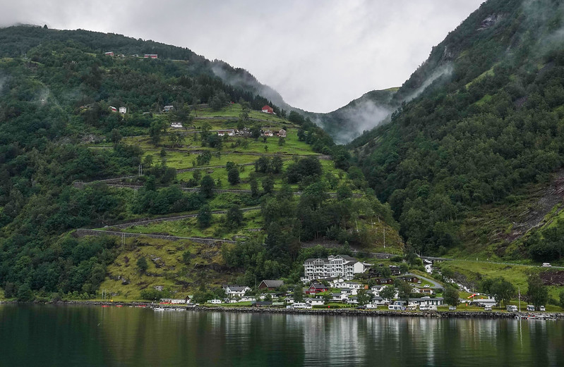
Hieman ennen perille tuloa näkyi hienosti Kotkatien aloittava serpentiini. Muutama pysähtymispaikka oli tuossa välilläkin ja huipulla vielä iso bussienkin käyttämä.
Just before arriving at Geiranger village we got a nice view of the serpentine road that starts 'The Eagle road'. There were few places to stop and a bigger sightseeing place on top for even busses to stop.

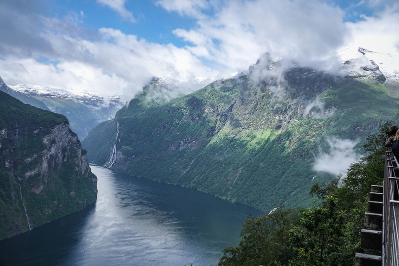
Näkymä sieltä huipulta Hellesyltistä tulon suuntaan:
The view from Eagle stop towards Hellesylt:

Parina päivänä tuli vastaan satoja NL- ja DE-rekkarilla olevia autoja torvet soiden -
Carbage run 2019 porukka oli tuunannut autot hauskoiksi ja ne menivät onneksi eri suuntaan kuin me. Tuo jono jatkui vielä n. kilometrin satamasta eteenpäin ja siinä olisi saanut odotella muutamankin 20 minuutin lauttavuoron.
On this and the previous day, we saw hundreds of funny horn blowing NL and DE registered cars that were participating in
Carbage run 2019. Fortunately, their direction was opposite to ours as they filled the queue to ferry and there were about one kilometre more of these queueing - that would have taken several 20 minutes ferry trips to wait.

Seuraava pätkä oli Peikontie ja sen keskellä oli nätti luonnonpuisto (alla) ja vielä ennen laskeutumista huipulla tuli parin kilometrin ajan luntakin. Tiet olivat onneksi niin paljon plussalla, että jäätä ei näkynyt.
The next part was 'Trollstigen', which had, for example, this pretty nature park scene. On the highest point, there were even 1-2 km part where it was snowing! Luckily for us, roads were warm enough so that the snow melted.

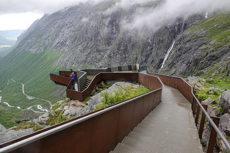
Pätkän lopuksi mentiin taas serpentiiniä alas. Ennen aloitusta oli hieno turistikeskus, josta sai kävellä katsomaan maisemia näköalatasanteelle. Tuolla ollessamme sade taukosi hetkeksi. 👍
At the end of this part, we had a zig-zag road to drive down. Before that there's a nice visitor centre with a good walking path to a scenic platform. And while there the rain stopped for a while! 👍

Yksitoista tiukkaa mutkaa tuli tuossa ajettua alas:
Eleven tight curves to drive down:

Seuraavaksi yöpaikaksi oli varattu mökki Lesjaskogvatnet-leirintäalueelta. Silloin jo olikin koko ajan poutaa ja vielä hienot maisemat.
Our next accommodation was a cottage booked in Lesjaskogvatnet camping. Then the rain had stopped and we still had beautiful views.

Reissun toistaiseksi julkaistut kuvat ovat
täällä omassa albumissaan. Sieltä löytyy 11 muutakin kuvaa tältä päivältä. Tervetuloa!
The rest of this day's photos can be found in
the album of the trip. There are 11 other pics that didn't fit here. Welcome!


