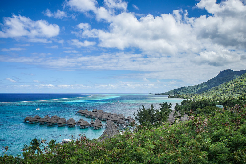
Palataan hetkeksi meidän viime vuoden aloittaneelle Afrikan kierrokselle. Ringin loppuvaiheessa kurvattiin etelä-rannikon puutarhareitiltä kohti Lesothon nurkkaa, jossa on Johnin Kapkaupungissa meille neuvoma erikoisen upea paikka: Sani Pass (enkku-wiki).
Tuo reitti näkyi sattumalta hiljan Top Gear -ohjelmassakin, jossa mm. Friendsien Joey ajoi sen ylös urheiluautolla.
Tuo reitti näkyi sattumalta hiljan Top Gear -ohjelmassakin, jossa mm. Friendsien Joey ajoi sen ylös urheiluautolla.
Let's return for a while to our last year's first trip to southern Africa. At the end of the round trip we left Garden route of southern coast and visited Lesotho and beautiful Sani Pass, of which we got a tip in Cape Town (Thanks John!).
I recently saw the route in a Top Gear episode in which Joey (from Friends) and others drove it with a sports car.
I recently saw the route in a Top Gear episode in which Joey (from Friends) and others drove it with a sports car.

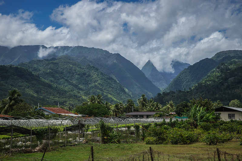
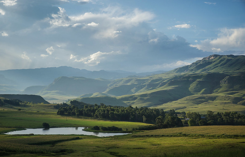
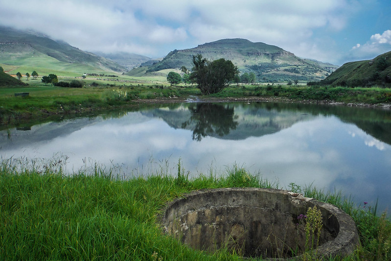
Olimme alueella kolme yötä hostellin privaattimajassa. Ensimmäisenä koko päivänä käytiin kävelyllä paikan lähellä. Yo. kuvassa ollaan lepotauolla ja Tarjan 'edessä' näkyy meidän lähihotelli. Alla oleva maisema näkyi toiselta geokätköltä, kun päivän lopuksi käytiin kiertämässä vuorista kauempana olevaa aluetta autolla.
We spent in the area three nights in private room of Sani Lodge Backpackers. On the first full day we walked near the hotel. Photo above shows our neighbor hotel from the highest point of the hike. The view below was from the second geocache that we found while driving on the area further away from the mountains.
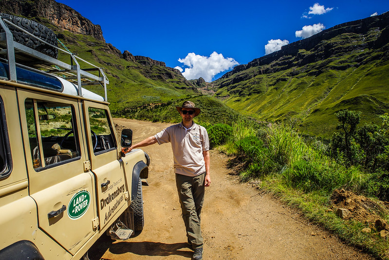
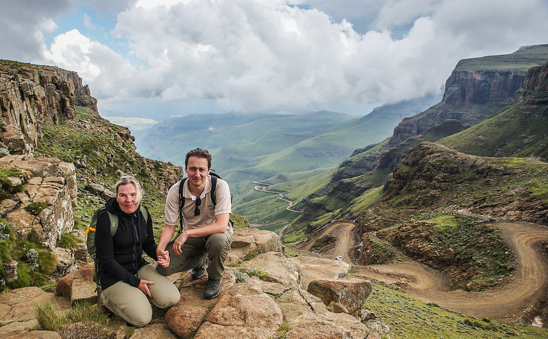
Sani Pass on reitti, jota entisaikoina käytettiin tuomaan karjaa kauppapaikalle Etelä-Afrikan puolelle. Jyrkin nousu näkyy ao. kuvassa takanani - viimeisen kahdeksan kilometrin matkalla reitti nousee kilometrin ylöspäin ja siitä suuri osa tuossa loppuserpentiinissä. Olimme mukana kahden auton päiväretkellä, koska reittiä ei kannata yrittää ilman neliveto-jeeppiä.
Sani Pass is the route which was used formerly to bring cattle to mart in South Africa side. The steepest part is here behind me - during the last eight kilometers it goes one kilometer up. And most of it happens in that last serpentine road. We participated to a two car day excursion, as this route cannot be driven without a 4WD jeep.
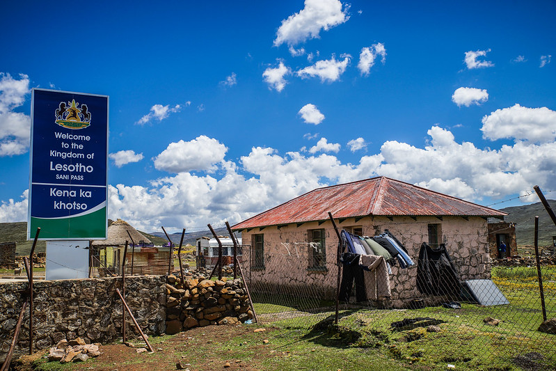
Lesothon raja kulkee ylängön reunaa pitkin, eli serpentiinitie ja jyrkin
nousu on Etelä Afrikan puolella ja vasta mäen päällä on Lesothon
raja-asema.
The border line of Lesotho is on the top of uplands, so the serpentine road and highest rise are on RSA side and just on top of it is the Border Crossing to Lesotho.
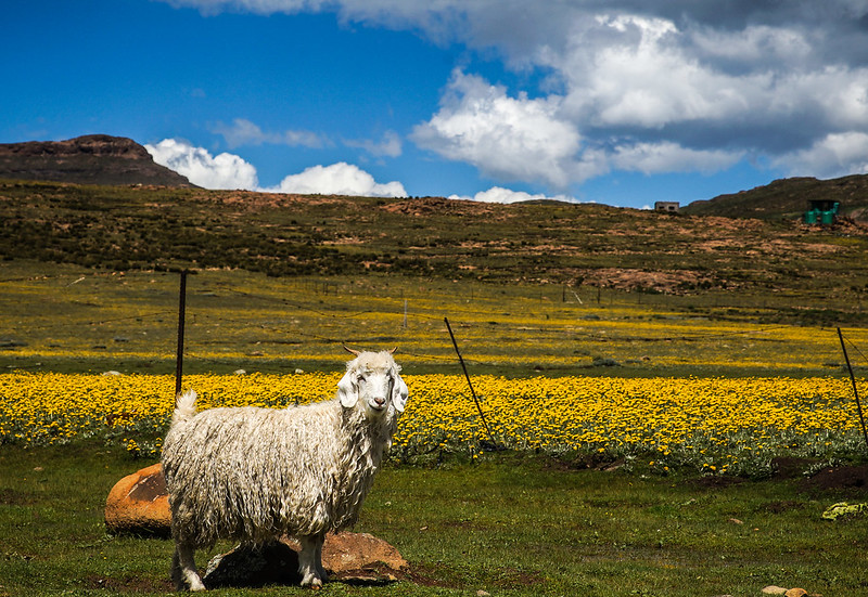
Hauskin bongaus heti rajalla oli ympäriinsä kuljeskelevat Angoravuohet. Ne olivat kuin pirteitä älykkäitä koiria, jotka tutkivat tomerasti kaikkea.
The most cute finding were Angora goats that wondered around everywhere. They were like perky smart dogs, that explored everything.
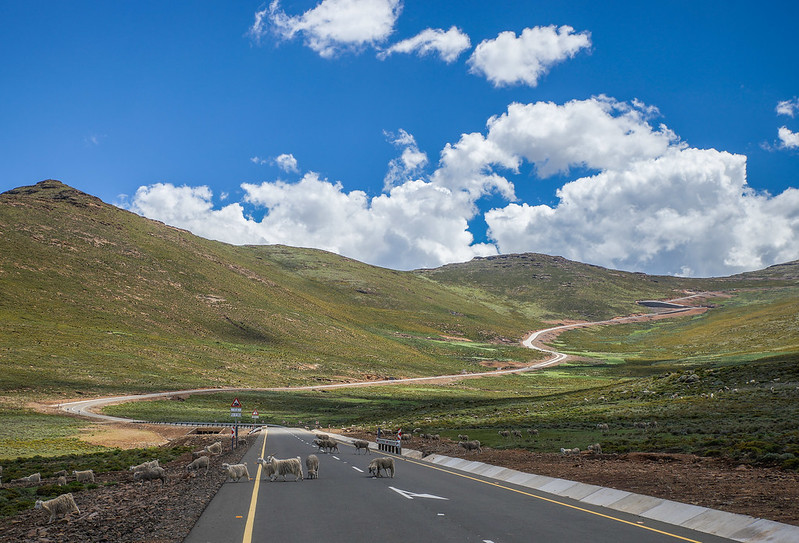
Lesothon puolella ajettiin vielä n. kymmenen kilometriä eteenpäin ja käytiin 500 metriä korkeammalla, eli korkein kohta retkellä oli 3280 metrissä.
Kiinalaisten tekemä tie näytti hienolta, mutta ylempänä mäessä pintaa vaihdettiin takuutöinä, koska oli jäätyessään ollut kuin luistinrata. Paikalliset moittivat muutenkin suunnitelmia päällystää jyrkimmän rinteen kohta - on erittäin kallista ja tie on kuitenkin vähällä käytöllä.
Kiinalaisten tekemä tie näytti hienolta, mutta ylempänä mäessä pintaa vaihdettiin takuutöinä, koska oli jäätyessään ollut kuin luistinrata. Paikalliset moittivat muutenkin suunnitelmia päällystää jyrkimmän rinteen kohta - on erittäin kallista ja tie on kuitenkin vähällä käytöllä.
On Lesotho side we continued about 10 km and visited on the highest point (3280m from sea level), which was about 500 m up from the border.
This Chinese made road looked nice here, but up the hill they were renewing it as warranty work as it had been like a skating rink during cold months. Locals criticized also the plan to put asphalt to serpentine road, as it would be very expensive while there's very little traffic on it.
This Chinese made road looked nice here, but up the hill they were renewing it as warranty work as it had been like a skating rink during cold months. Locals criticized also the plan to put asphalt to serpentine road, as it would be very expensive while there's very little traffic on it.
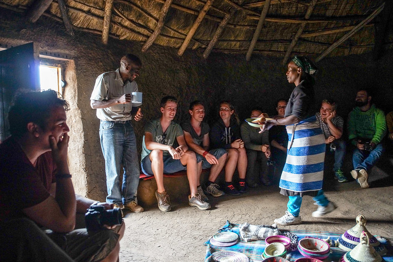
Paluumatkalta huipulta vierailtiin ensin pienessä paimenen majassa ja isommassa (alla) kodissa, jossa kuultiin paikallisten elämästä ja maistettiin paikallista olutta ja padassa tehtyä leipää. Leipä oli ihan hyvää ja ostettiinkin sitä.
On our way back we first visited a little shepherd hut and then in a bigger home (below) where we heard of lives of locals. We got to taste local beer and pot bread, the latter was so good that we bought some of it.
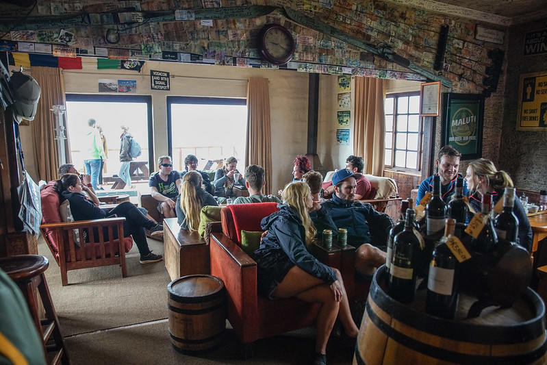
Lopuksi vietettiin vähän aikaa Afrikan korkeimmalla olevassa pubissa, josta löytyi yksi geokätkö Lesothoonkin.
At the end we spent some time in the highest pub of Africa. There we got one geocache on Lesotho side too.
Baarin nurkalta löytyi komeat näkymät Sani Pass serpentiinitien kohtaan ja kauempana näkyvään tien tasaisempaan osaan.
From the corner of the bar we found great views to Sani Pass serpentine road and to further continuing 'flatter' part of the road.
Alueelta poislähdön aamuna kävimme läheisellä hotellilla lounaalla ja sitä ennen pelaamassa kuusi reikää golfia (rankkasade oli huuhtonut sillan ja pääsyn kolmelle keskimmäiselle väylälle). Tuolta lähdettiin ajamaan kohti Johannesburgia.
On the last morning we visited the near-by hotel and played six holes of golf (heavy rain had broken the bridge so middle three holes we not reachable). After that we had lunch there and started driving towards Johannesburg.
Lisää Sani Pass -päivien kuvia löytyy Flickristä Afrikka-albumista (linkki vie 2. sivulle, jossa alas päin selatessa norsujen jälkeen nämä päivät). Siellä on myös paikkakuvilla päivitetty versio reittikartasta.
More photos of our days in Sani Pass area are in Flickr's Africa album (the link goes to 2nd page, where these are found after elephants when you scroll down). There's also an updated route map version with thumb nail pics.
